Using Satellite Imagery to Make Irrigation Decisions?
Using Satellite Imagery to Make Irrigation Decisions?
Thursday, June 8, 2017
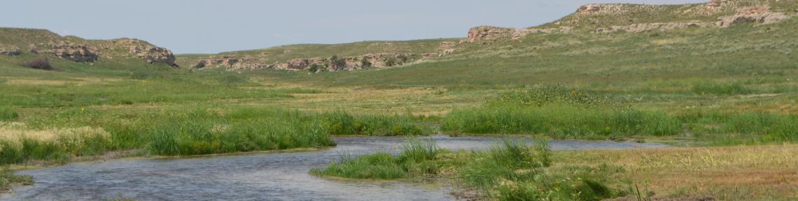
New technology being tested in Nebraska detects moisture content of soils and crops using reflected satellite signals. The information could be used to help reduce water use.
